Old Fun, Jeep Fun, Bird Fun, Gold Fun, Sand Fun, Wind Fun
April 25, 2024 – Day 41
Mayflower County Park, Blythe, California to Leapin’ Lizards RV Ranch, Ocotillo Wells, California
We had a short drive planned to Ocotillo Wells, CA. Most parks are checkout by 11 with a few at 10 or 12. This one’s checkout time of 1PM. This meant that the morning could be filled with sightseeing! Usually we string a few long drive days together and don’t get to adventure much. It’s not a lot of fun. This trip we’re trying to grab bits of adventuring when we can in addition to the longer planned stops. Today was one of those moments. We were up early and headed out to see the Blythe Intaglios.
In 1932, George Palmer, a pilot flying between Las Vegas, Nevada and Blythe, California noticed the Blythe geoglyphs.[7] His find led to a survey of the area in the same year by Arthur Woodward, Curator of History and Anthropology at the Natural History Museum of Los Angeles County.[8] Malcolm J. Rogers subsequently studied and sketched the Blythe Intaglios in 1939.[2]After National Geographic published an article about the Blythe Intaglios in 1952, people began to visit the site which led to some destruction of the intaglios.
https://en.wikipedia.org/wiki/Blythe_Intaglios
The name “intaglio,” is a specific type of geoglyph, is taken from a printmaking process. A design is made by engraving or incising the surface so the image is depressed in relief below the original surface. An intaglio is created in the desert pavement by scraping away the darker surface gravels to reveal the lighter gravels and soils underneath.
Another method to make an intaglio is tamping. Designs or parts of figures (usually arms and legs) are made by pressing on the desert pavement, probably after a rain when the underlying soil is softer. This leaves a depressed area. Tamped images can be very difficult to see, and are best viewed in the early morning hours when the angle of light is low and the desert surface is not distorted by heat shimmers.
Intaglios were created in the likeness of various shapes and figures. These include anthropomorphs (human-like), zoomorphs (animal-like), geometric shapes, and linear designs. Each shape had a specific meaning to the people that created them.d
From a plaque on the site
They were fairly easy to find.
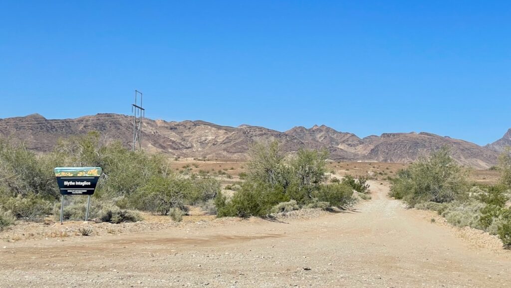
We had thought we would need to hike out to the first two, which is only about a mile round trip but the third one would be out of reach for us. When we got there there was a sign saying “No Vehicles” and another one saying “Keeping all vehicles on the established roadway.”
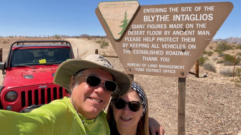
We thought about it and figured the “No vehicles” sign applied to the fenced off area and we would be staying on the proper trail. This was good since we’d be able to see the third intaglio and not have to walk in what was already proving to be a hot day even very early in the day (well before 10am). Apparently it gets hot here in the southwest. (susan here: this is actually a photo that we stopped for on the way out as the photo we took on the way in neither of us cared for. Stopping for this photo got us another life bird, the Ash-throated Flycatcher. It’s a cute thing! About Robin sized and it has a sort of mohawk-style thing going on.)
It also made for a good beauty shot of our Jeep!
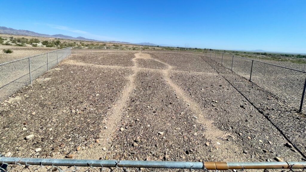
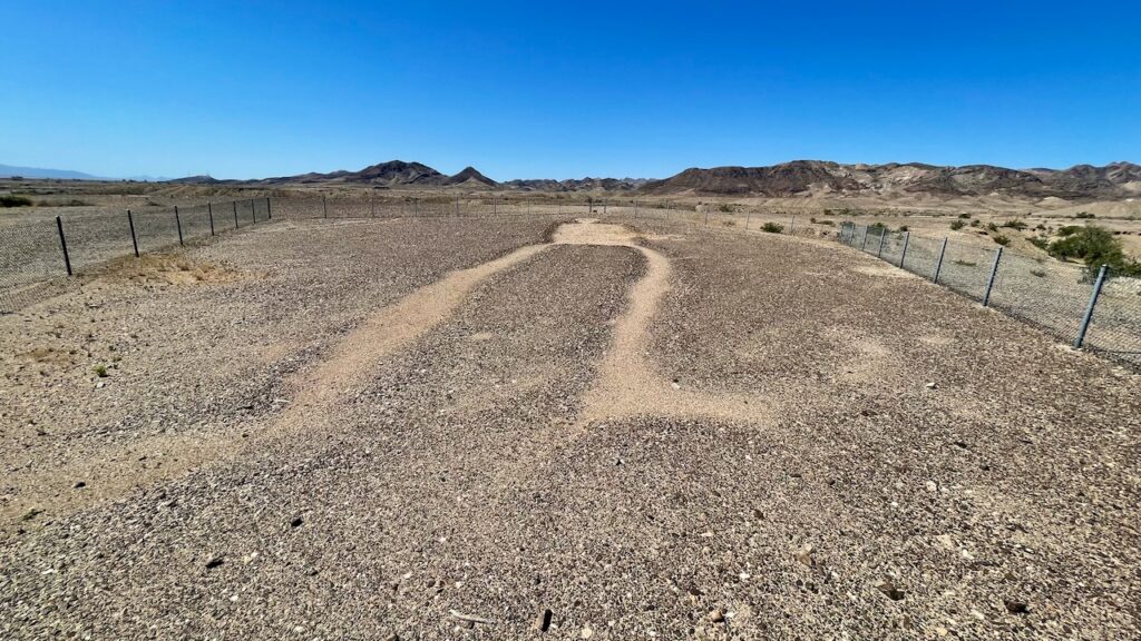
The intaglios are hard to photograph, since they are meant to be viewed from above, which makes you wonder just why they were made. But here’s some photos of them.
This human figure is oriented north-south with its head pointing toward the south. Its arms are outstretched and its feet point outward. This figure most likely represents a male: it is the only one of the “Blythe Intaglios” that appears to have originally been created with a phallus between its legs.
The figure measures 102.0 feet from head to toe, and its arms span a distance of 64.9 feet. Its left leg is pronouncely flexed, It lacks defined knees, but does have clearly defined elbows. There are no visible fingers or toes.
Original photos revealed a circular path that measured 131.2 feet in diameter enclosing the upper half of the figure, crossing the middle of its legs. All that remains of the circular path is the section that is enclosed by the fence.
from a plaque on the site
An animal above and a snake below.
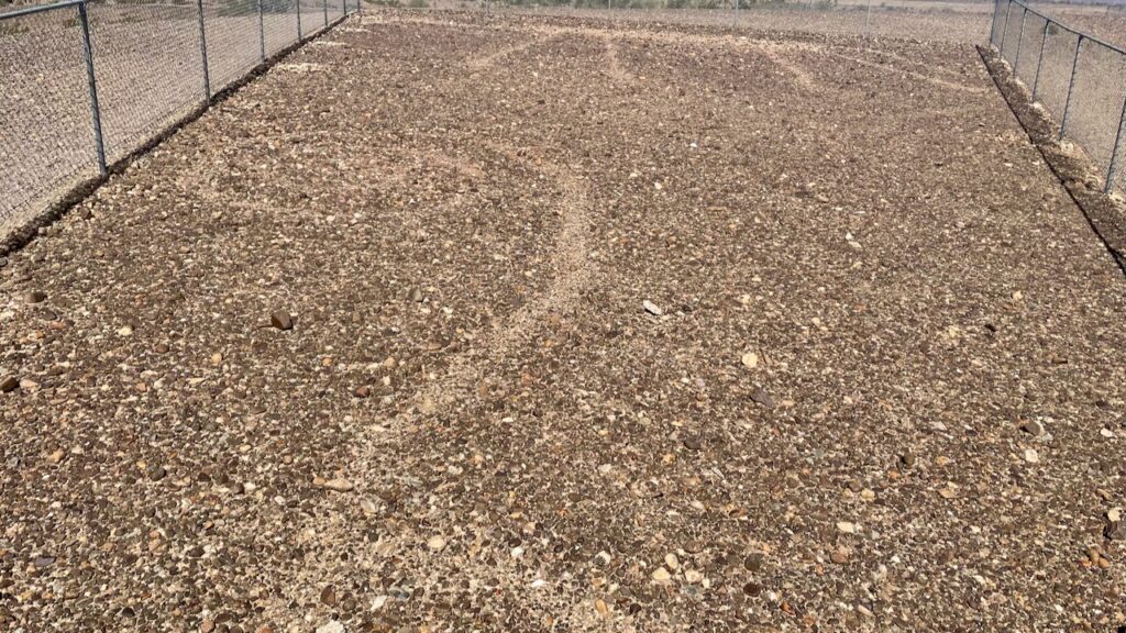
There are two more intaglios known as “Blythe 3”. We’d have to hop a fence and walk an about mile roundtrip. It was getting pretty hot by this time and neither of us was willing to do walk. Sure a mile sounds easy and usually it is. But in the desert when it’s hot and no shade to be found the sun will cook you pretty fast if you’re not used to it. It can be daunting even if you’re prepared. There are also snakes and other “best leave them to their selves” critters out there. These “city folk” know when to call it.
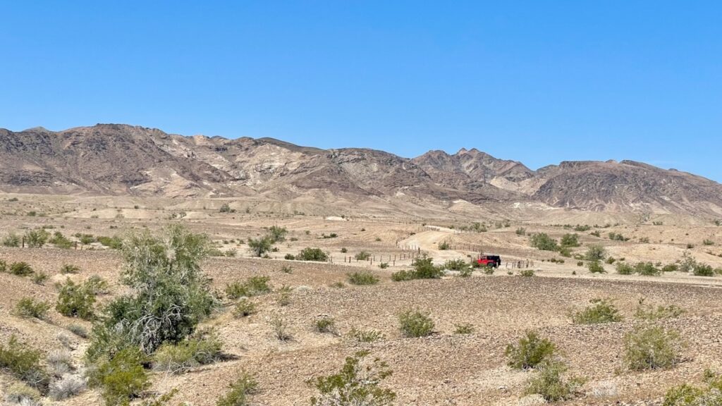
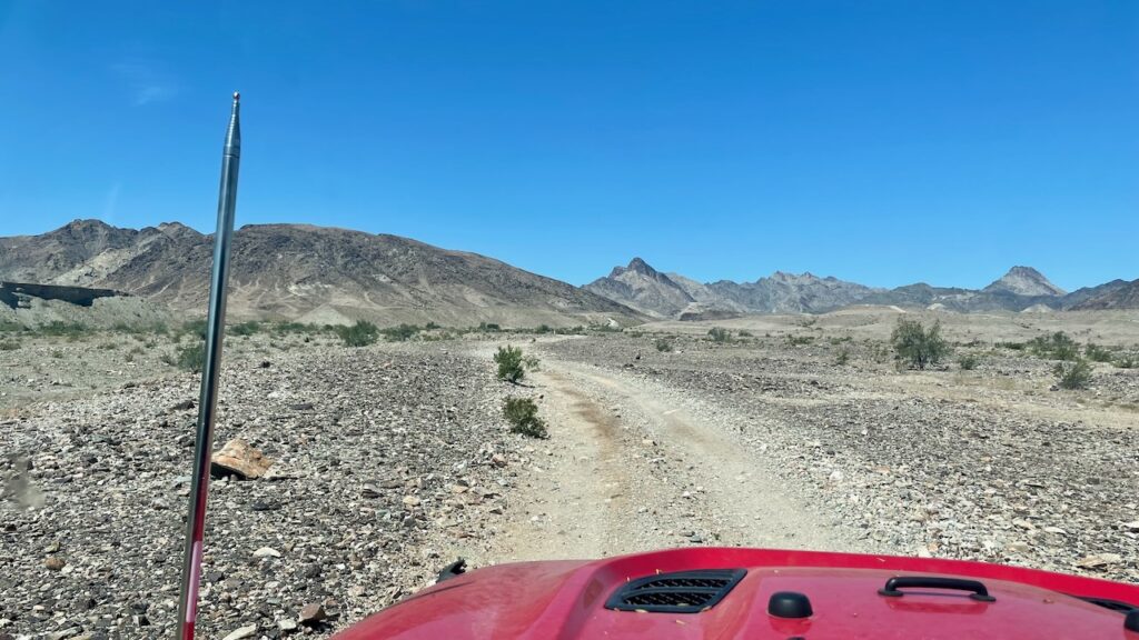
Since we had a Jeep and a nice dirt road, we kept on driving! (susan here: if you’re wondering what that metal antenna is, that’s one of Paul’s Ham radio antennas!)
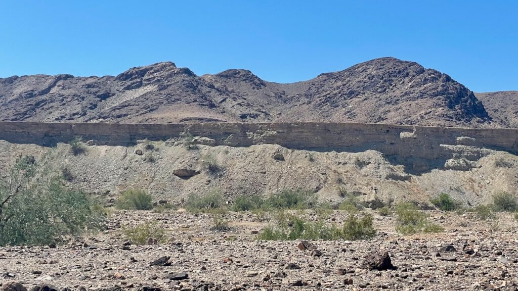
Soon we saw these cool formations, cliffs that were undercut.
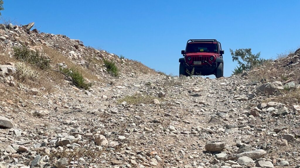
And eventually we had to stop. The road was both closed and there was a 2 foot ledge we’d have to drop down. We have the Jeep and the skills to drive that and get out. But we’re also not nearly stupid enough to not try it alone. One thing we always do if something might prove sketchy is to get out and walk that stretch. While Paul was doing that he took this picture standing on the ledge that caused us concern while looking up the hill at the Jeep. There was a nasty ditch behind him that neither of us thought to get a picture of.
We stopped by the Palo Verde Diversion Dam to look for birds. There were hundreds of swifts or swallows with mud nests on the dam. We couldn’t ID any though. They’re really fast! We did see Cinnamon Teals, and curiously a rare for the area Bufflehead. The eBird people want more information since it’s odd that this bird is here. However, we’re quite familiar with that bird since it was common in Provincetown Harbor where we used to live.
Then we hooked up the Jeep to the RV and drove the local grocery store, an Albertson’s. We needed to stock up on “freshies.”

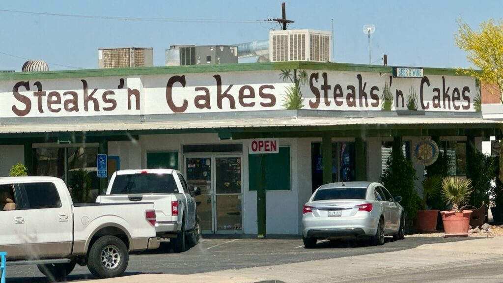
On the way out we passed this cool looking local restaurant, it was recommended to us when we came in, but we were just too tired to go out.
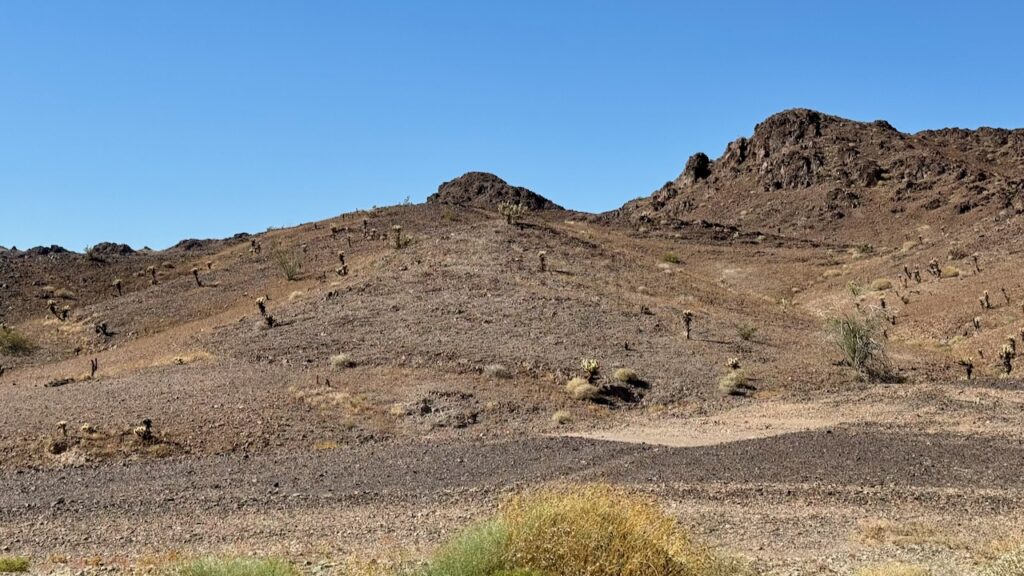
Fun things and foraging for food done it was time to hit the road. We wanted to stay longer but we have a schedule to keep until mid-May. As is usual out here the views are pretty fabulous.
Driving is also weird. You can drive 20 miles and suddenly the road switches direction for no apparent reason.
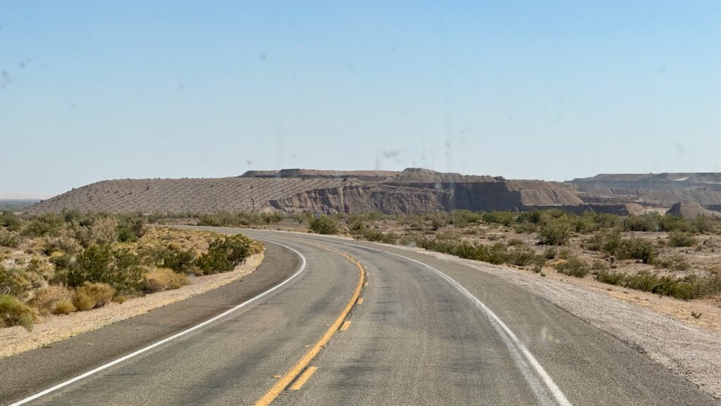
That is part of a gold mine. We were puzzled about it as we approached. The stuff on the left is clearly deposited but the stuff on the right is that same stuff being carved away. Paul thinks he’s figured it out. One machine digs and piles it up and later they haul off the ore to be processed to separate out the gold. We saw one of those giant yellow dump trucks at the top and it looked really tiny. This place was massive. Susan googled it. They’ll be pulling several Fort Knox’s worth in gold out of there.
Then we hit the exciting part! OK, beautiful and exciting part!! The Glamis Sand dunes, aka the Imperial Sand Dunes. (susan here: they’re the largest sand dunes in the US at 40 miles long and about 5 miles wide. These numbers change of course as sand is continually being brought in by winds. And whooboy it was windy! Fun fact: Some of the Tatooine series of Return to the Jedi was filmed here.)
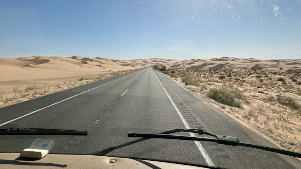
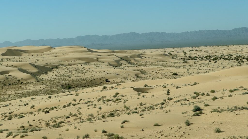
So why was it exciting? Anastasia had mentioned how cool these dunes are. When we got there we texted Anastasia. She mentioned that they never had been to the top of the observation lookout. Not people to leave a “challenge” on the table of course we went up. Sand was drifting over the road and the RV almost got stuck. It has Traction Control and we think it was using it, the passenger side tires were in sand deep enough to matter. The winds were fierce at the top. There were a few hardy campers up there. Nobody was home, they were all off in their buggies cruising the dunes. (susan here: what sane person would be up there with the winds howling like that!?). A few were in a line, a few had made a right angle “camp” to each other, all presumably positioned as wind breaks. Suddenly it dawned on us that maybe this wasn’t a bright idea being up here since we weren’t sure we’d be able to turn around without unhooking. That would have been indescribably unpleasant task to do! Plus it’s really is annoying and wastes time. We squeezed between two of them. (susan here: it was going to be a tight turn/squeeze so I took one for the team, grabbed the walkie-talkie and stepped out onto Tatooine the Hugh T. Osborne Lookout Park to help Paul “thread the needle.” It was so windy Paul really had a difficult time hearing me over the wind blowing into the mic of my unit. Somehow we managed. I was still picking sand out of my eyes and hair a few hours later!)
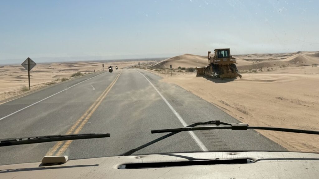
You can see our tire tracks from going up as we headed back down, the blowing wind has already started filling them in. It does look like Paul drove down the center of the road to stay out of the sand, just not far enough over.

Ahhh, where’s the sand plow when you need it?
We drove past Brawley where Anastasia and John are working for the onion harvest and right into the mother of all winds. It had been pretty windy to this point but wow this was significantly worse. (susan here: I’d glad it was Paul that was driving.) It was nasty, you could see the sand, from the desert, not the dunes, blowing across the road. And there was this hazy look to the sky, which obviously was airborne sand.
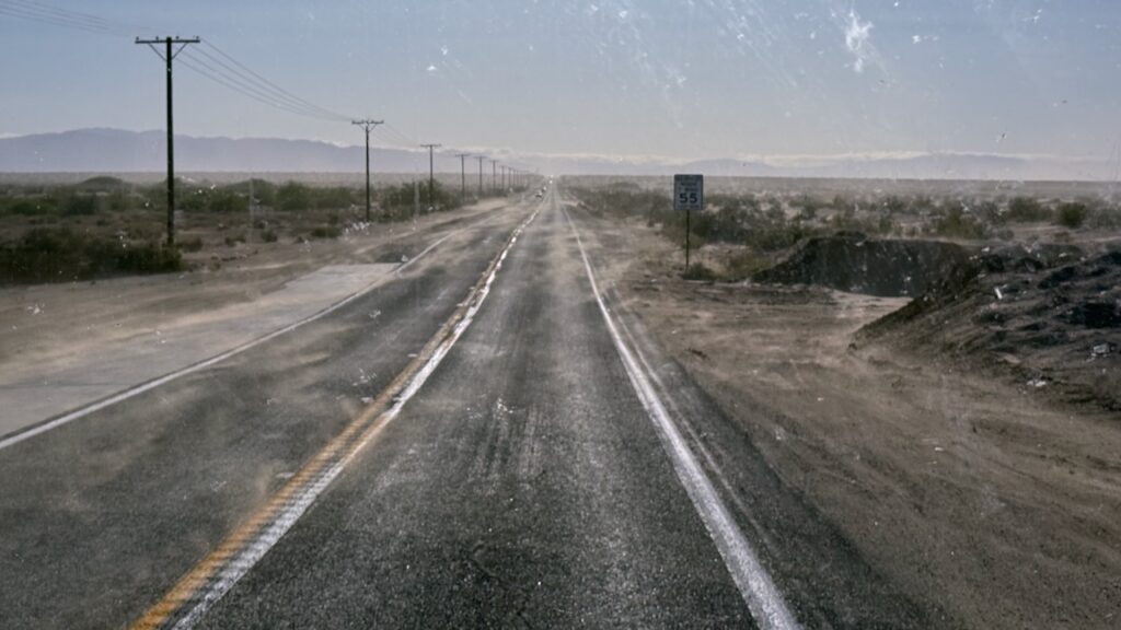
The speed limit was 55mph but Paul was doing 40mph in spots, fighting the steering wheel. (susan here: he was uncharacteristically quiet because he was concentrating so hard.) We were incredibly relieved to pull into the campground. The lady who owns Leapin’ Lizard gave us the best check-in ever with a lot of advice of places to go. She also knew a thing or two wind and weather here. She parked us so that we were blocking each other so that we could “open our doors without getting them ripped off.” As it turned out, we were parked broadside with the driver’s side to the wind which meant we could open the leeward passenger slides. This is the preferred side if we can only open one side. Our RV was smaller but still quite livable. More importantly the wind shakes you a lot less when the slide is in.
We’ll be here for a few day, checking in on the kids and doing some exploring.


Daily: 137
Total: 3,763
Driving Miles/Day: 251
Overall Miles/Day: 90
Life Birds: 2 (Cinnamon Teal, Ash-throated Flycatcher)