No Fish
October 20, 2024 – Day 10
Lake Ute State Park, Logan, UT — Red Rock Park, Churchrock, NM
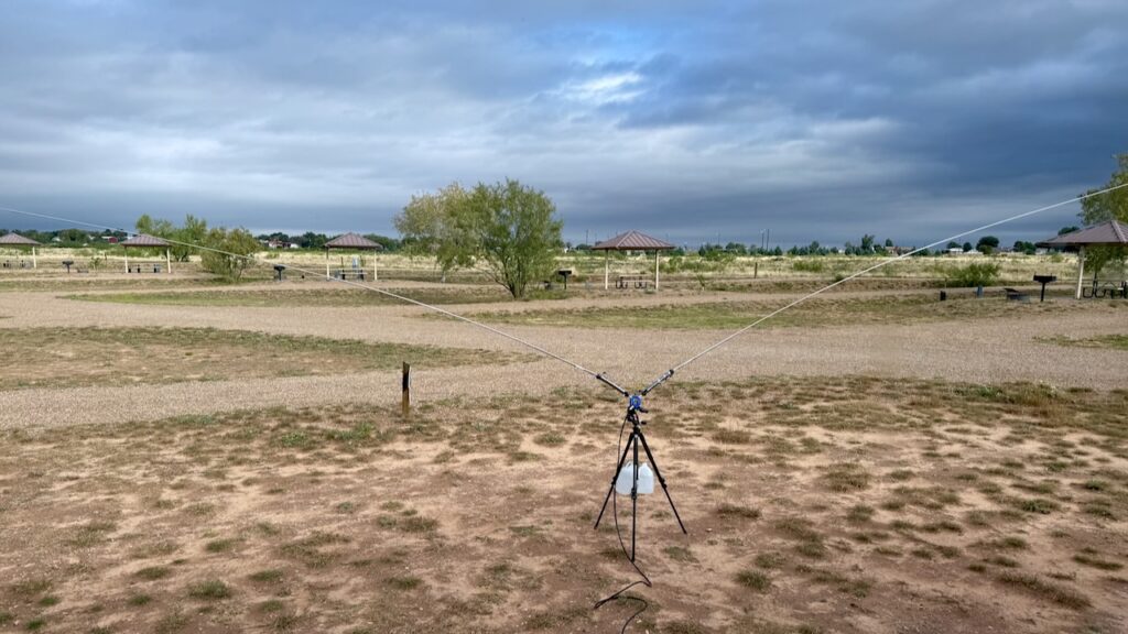
We wanted to have a late start. Why did we want a late start? Because we are idiots. When traveling, you never want a late start because things happen that delay you. But Paul got to play radio so we’ll pretend that was the plan all along.
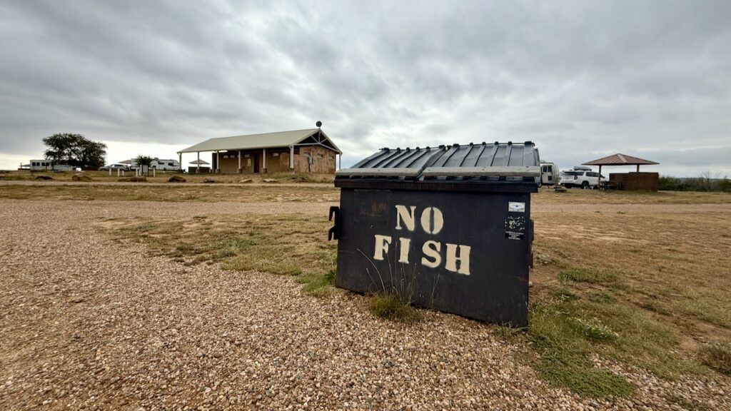
Lake Ute, is, well, a Lake and many people fish at Lakes. Can you imagine what it would smell like if the fish bits were left in the bins, yikes!
(susan here: Paul thinks this trash can is funny but Trash Kans from the other isn’t!?)
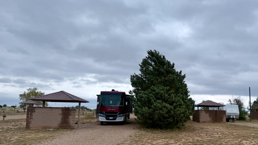
Remember from yesterday we spoke about the winds? Can you tell which direction the prevailing winds come from? Now you understand why we were happy to find that row full of big, fat trees to block the wind.
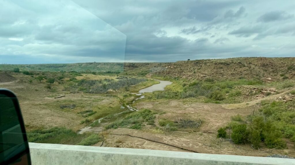
It rained a lot in parts of New Mexico last night. Roswell was flooded due to the fact they received about 1/3 of their yearly rainfall in one day. Up in Logan it was really wet but no flooding. It was interesting to see the dry washes that weren’t dry however. That was bone dry the day before.
Some town, NM The yellow house caught our eye.
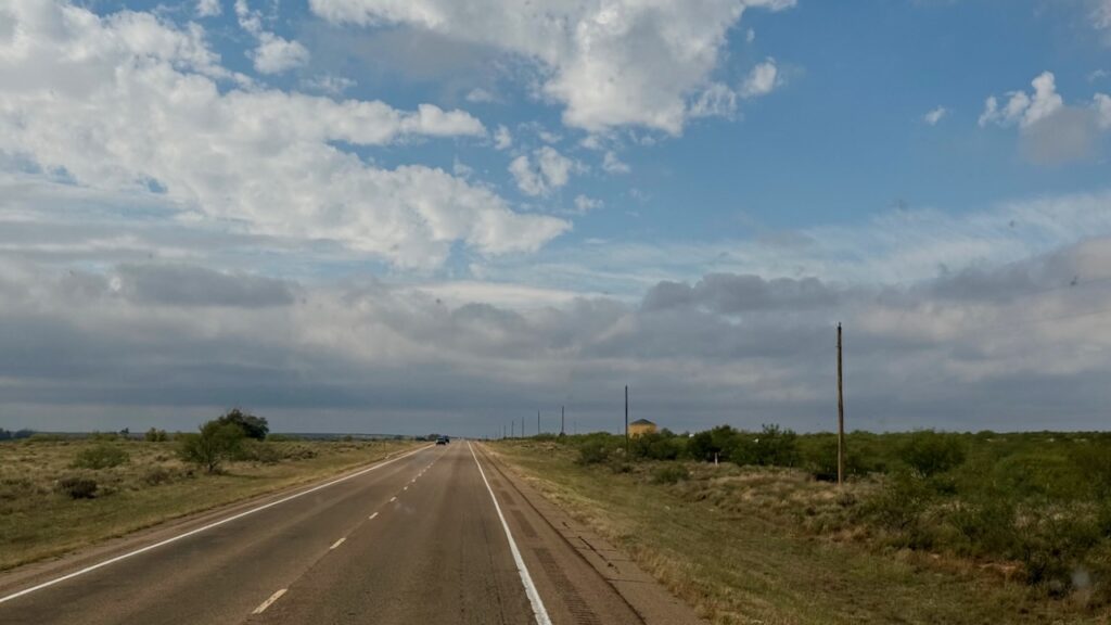
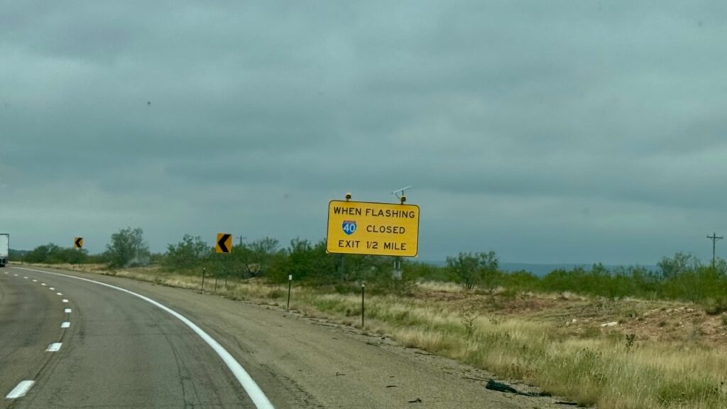
We still find it curious that out here, the main highways close frequently enough that they have signs!
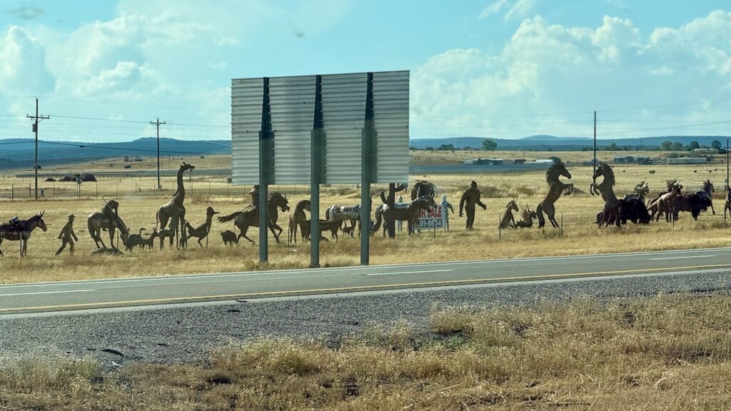
You can buy all sorts of Western style metal structures here. Sorry about the back of the sign. Moriarty, New Mexico. (susan here: not sure how a giraffe is southwest and I think I see silver aliens in there…but, okay.)
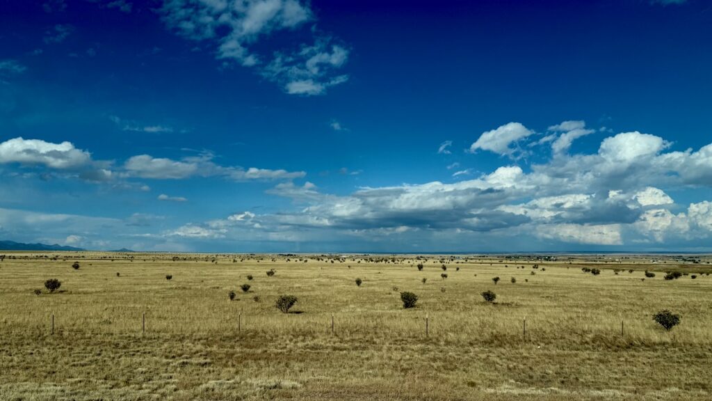
During one driver change we found that our parking lot had a gate, so we had to drive through a residential neighborhood.
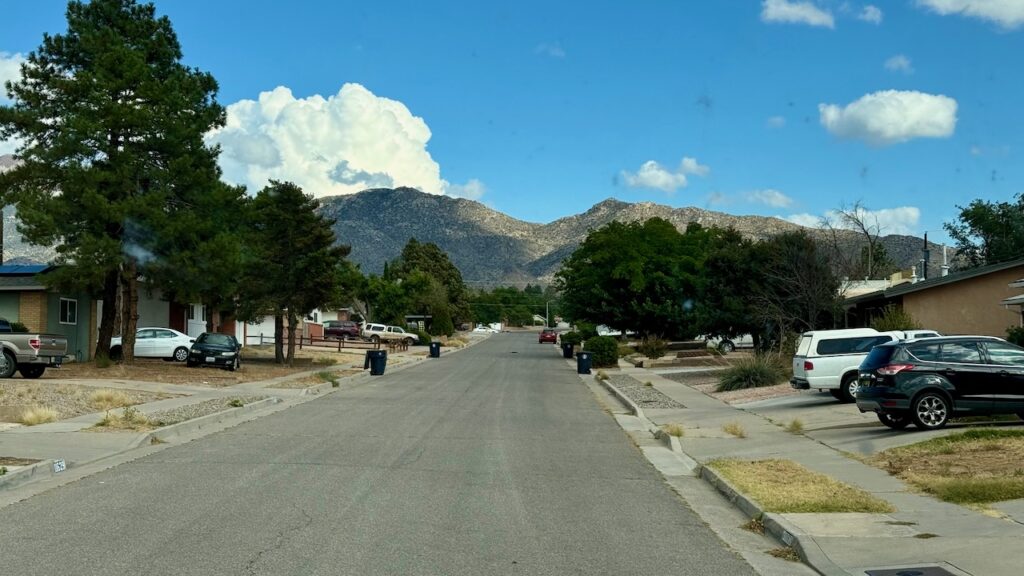
Cool pedestrian bridge.
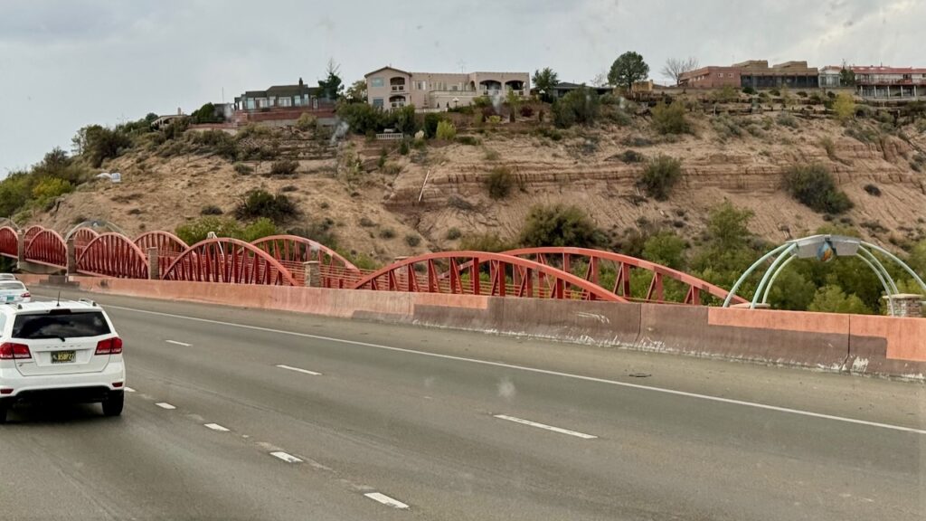
Tijeras, New Mexico
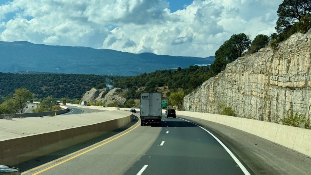
Carnuel, New Mexico
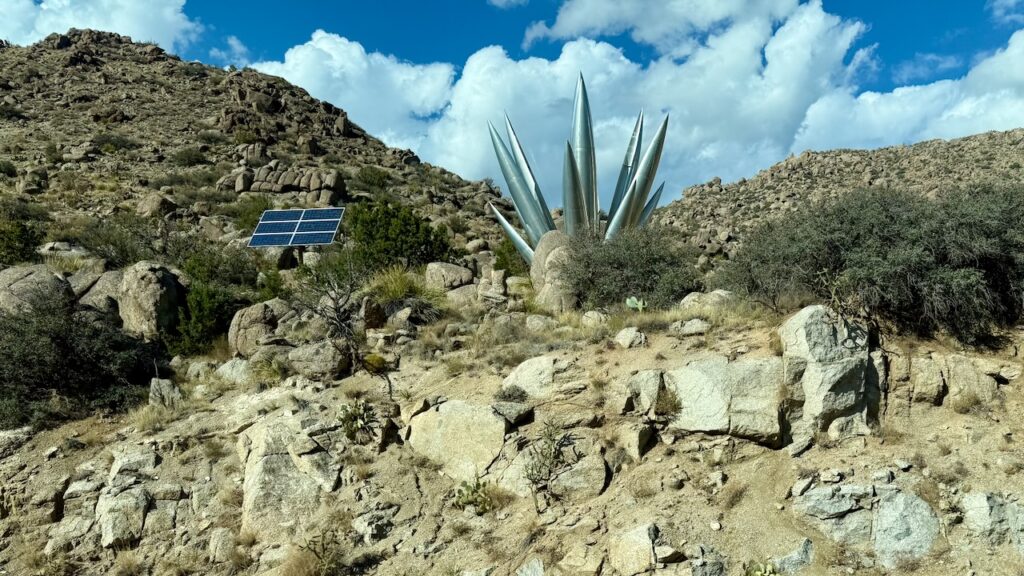
Fort Wingate, New Mexico
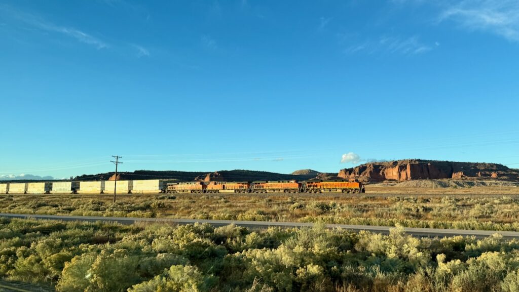
New Mexico rarely disappoints. It’s one of Susan’s favorite states.
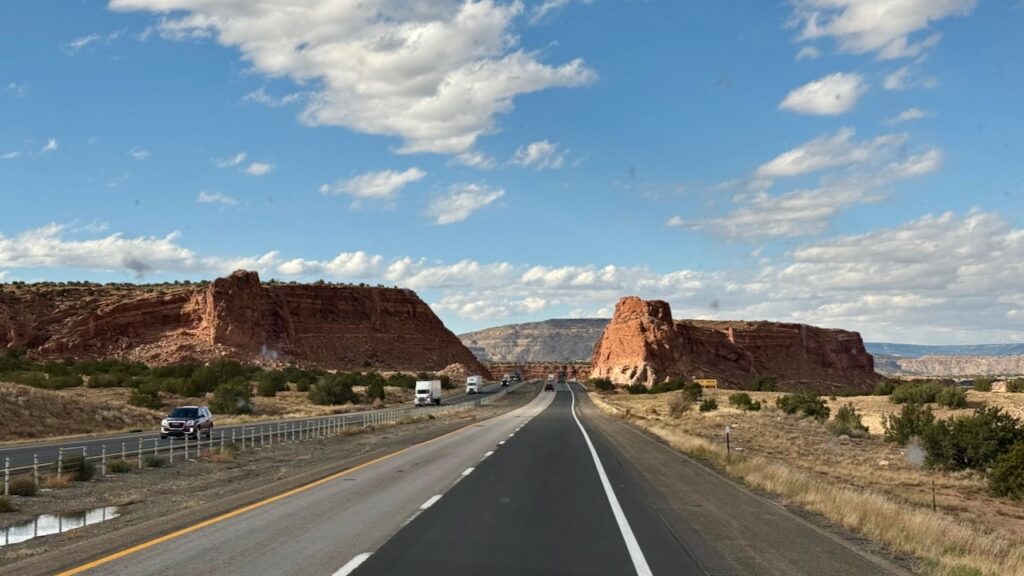
Now it is getting late, it’s 6PM and you can see that the sun is setting. Susan had noticed earlier in the day that Historic 66, which parallels parts of I-40 was flooded in places and had “road closed” signs. Our exit led to one of those. Thankfully we didn’t have to unhook or back up as there was an on ramp just before it. We didn’t get a picture of the sign.
But the scenery takes your breath away.
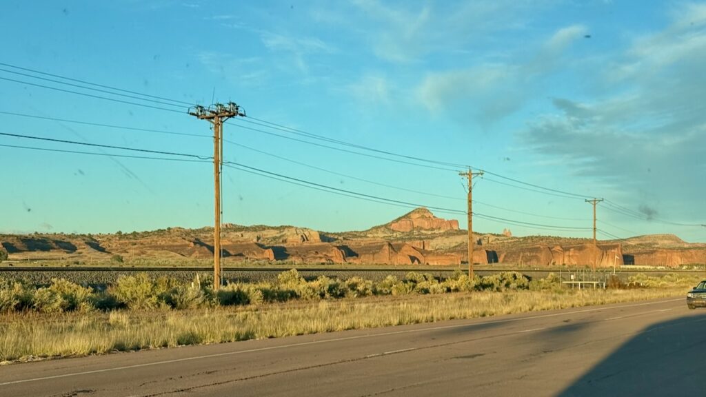
After getting off at the next exit we doubled back eastward on Historic 66 and found the other end of the Road Closed sign. Fortunately, the road to the campground was open. That’s the left to the campground just before the barriers.
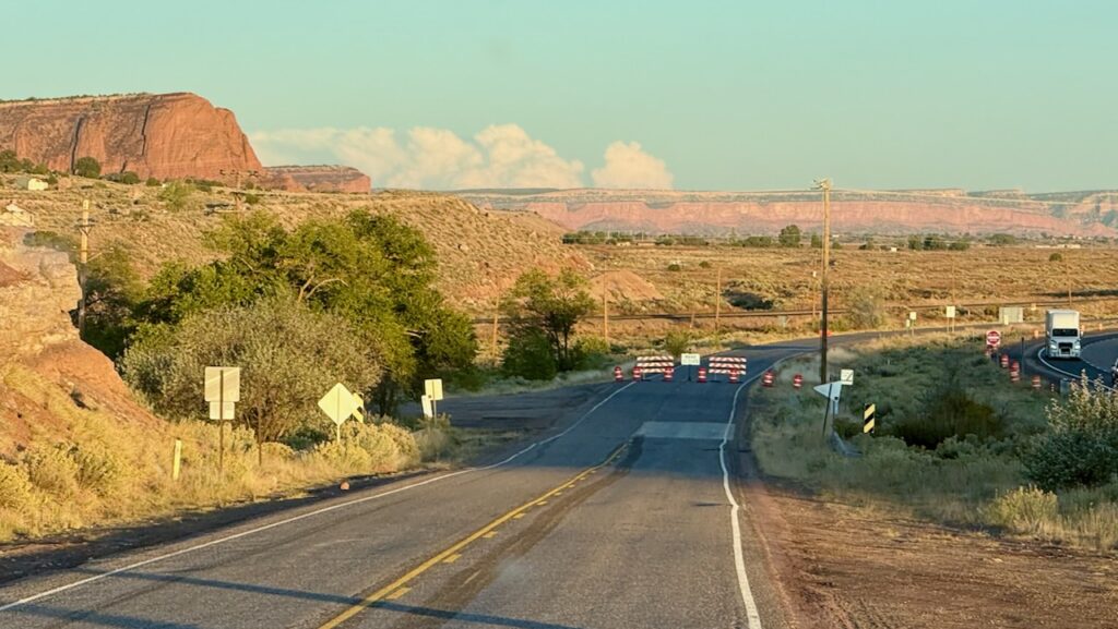
This is what we’ll see from the campground.
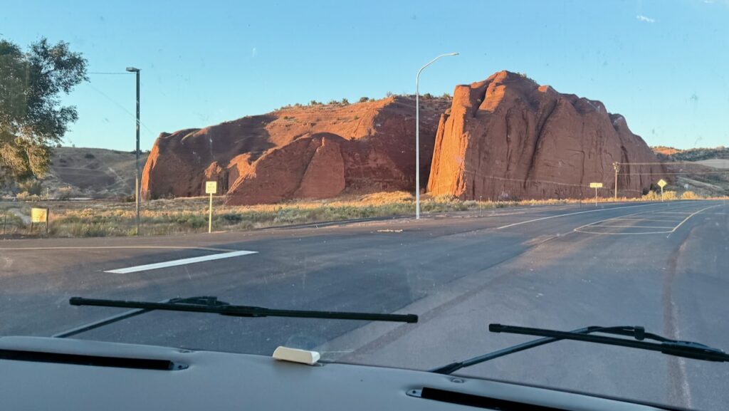
Except that that didn’t happen. We dumped our full waste tanks then drove around the campground looking for site 65. We couldn’t find it! Eventually Susan did find it but someone was in it. It looked like they had been there awhile. (susan here: When you’re looking for your site you don’t think to read every site’s number. You only look at the open sites. Since they were squatting on our site I never bothered to look until a good half hour after we got there. Then it made sense why we couldn’t find it.)
Driving around more we met Billy. He flagged us down. He said the place was a free for all and to “just grab a space, but don’t go on that side, because it will flood if it rains.” We got settled in well after dark which we hate doing. It was a late dinner and then off to bed since our body’s time clocks are still wacky.


Daily: 324 miles.
Total: 2,404 miles
Driving miles/Day: 343 miles/day
Overall miles/Day: 240 miles
mpg: 6.1