Highway 2 Revisited
September 10, 2024 — Day 10
Upper Canada Migratory Bird Sanctuary & Nature Campsite, Ingleside, ON
We spent the day just relaxing. After lunch we decided to go do some birding, after all, we were in a bird sanctuary. We didn’t see much. We met one birding couple, he was the birder and she was the scribe. They had seen 42 species that day! They offered to have us walk with them but we weren’t feeling the walk. We thought we could drive to a part of the island and get out the scope, but that part was private property and we couldn’t enter. One of us had seen a group of islands to our east that had a road, so we headed over that way and found the Long Sault Parkway.
The Long Sault Parkway is a group of eleven islands west of Cornwall in the Canadian province of Ontario, as well as the name of the 10.1-kilometre (6.3 mi) scenic parkway connecting them. The islands, which include two public beaches and three campgrounds, were created by the flooding of the Long Sault rapids during construction of the St. Lawrence Seaway. The parkway, the islands, and their amenities are maintained by the St. Lawrence Parks Commission.
It was quite a nice drive.
It was really off season so we could stop on the bridges that had signs saying do not stop on the bridges.
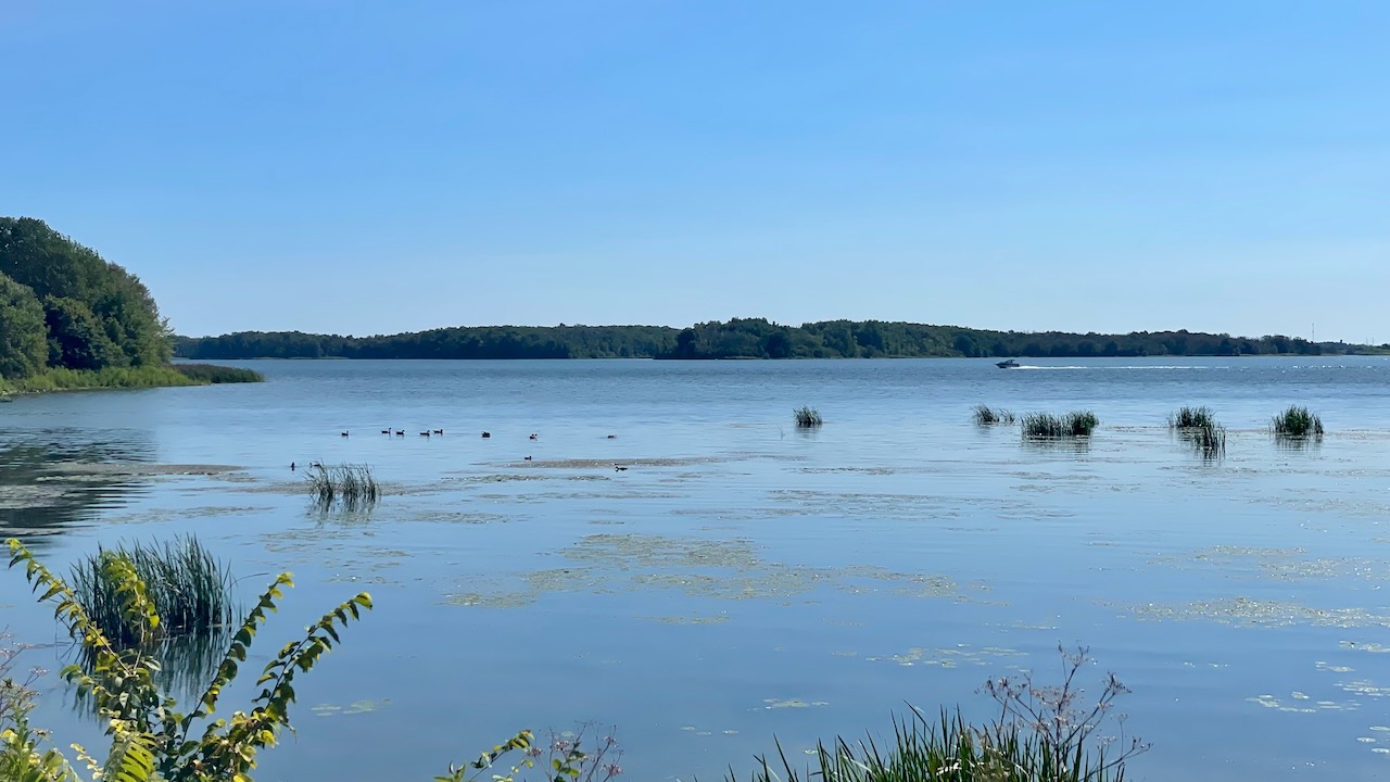
Look, some birds!
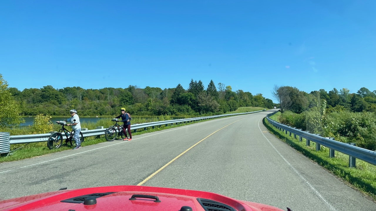
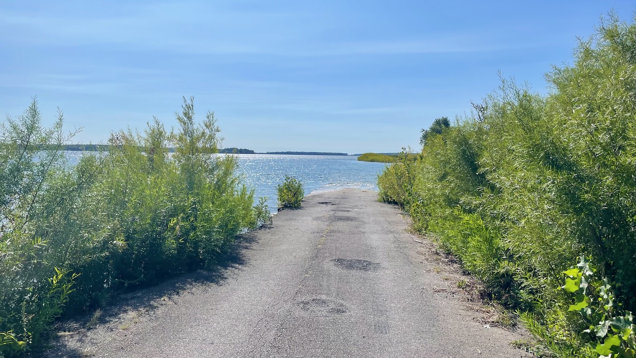
We headed down a side road and found that that road disappeared. There was a couple there on e-bikes. (We need some e-bikes!) They told us how Highway 2 was flooded when they bypassed the Long Sault Rapids. (They didn’t say Highway 2, wikipedia says Highway 2) Below you can see the road disappear into the water. We found vestiges of it elsewhere on our adventure.
We came across this odd dam. Looking at Google Satellite later, we figured it out. We were on the high side, not the low side, of the Long Sault Dam.
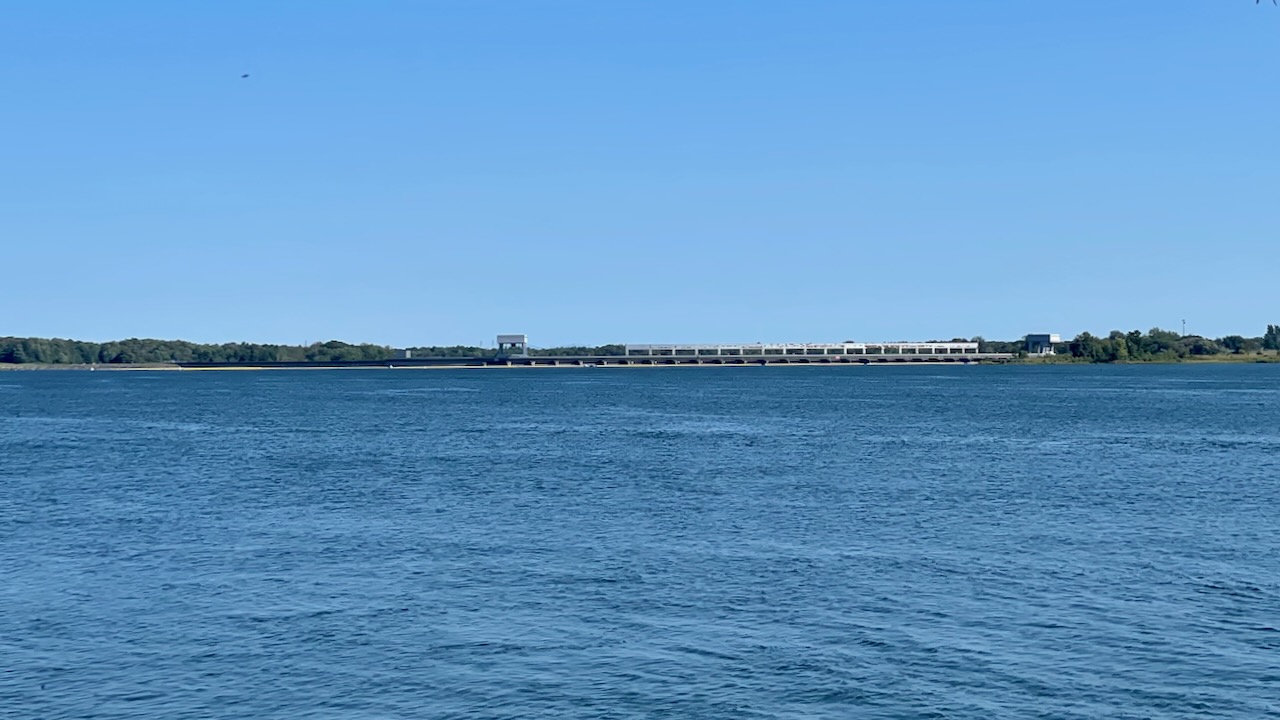
That’s the USA BTW.